
Randolph ZIP Code Directory Coverage
Three postal labels are documented inside Randolph Township: Ironia 07845, Randolph 07869, and Mount Freedom 07970. The Morris County polling-location material supplies the clearest official local crosswalk because all three appear with Randolph Township election districts. The labels describe mail delivery and postal place names. They do not create separate municipalities, tax districts, or legal parcel boundaries. A record search should preserve the postal label, then verify the parcel’s Randolph Township district and its address in the county systems.
| Postal code | Documented place | Post office or station | Records caution |
|---|---|---|---|
| 07869 | Randolph mailing place and many central township addresses | Randolph-area USPS delivery; exact station assignment was not located | It is a mailing label, not a legal township boundary. |
| 07845 | Ironia section and postal place | Ironia Post Office, listed in the Township directory | Ironia remains an unincorporated part of Randolph Township. |
| 07970 | Mount Freedom postal place | Mount Freedom Post Office, listed in the Township directory | Confirm an individual address because it differs from ordinary Randolph 07869 use. |
The county research did not locate a published Randolph postal split year, a PO-box-only code, or a unique-institution code. Those gaps should remain gaps. For an exact current address, use the postal lookup and then the tax parcel rather than inferring coverage from a generalized map.
Morris County’s ZIP-code context page is the source for the county postal context image.
A county ZIP display can orient a search, but it cannot replace an address-level postal result or a township parcel record.
Randolph ZIP Geography and Postal Labels
Ironia, Mount Freedom, Center Grove, Fernbrook, Shongum, Calais, Youngstown, and Mill Brook are names that recur in local maps, histories, polling locations, and records. Their presence does not change the municipality named on a tax card. An Ironia address can carry 07845 while the tax district is Randolph Township. A Mount Freedom address can carry 07970 while its parcel is also in Randolph. These are normal examples of postal geography and local history crossing the same township.
For election work, use the street address and district, not the postal label. For land records, use the address plus block, lot, qualifier, and legal description. The Township’s historic maps and the county’s current official map help identify roads and places, but neither turns a postal code into a legal survey.
Note: Keep the address’s postal label in research notes, then record the township district separately so the two concepts are never merged.
Verify Randolph ZIP Codes With USPS
Use the USPS ZIP Code Lookup with the full street address when the delivery label is uncertain. USPS is the confirmation layer for the address-to-postal relationship. The research did not capture a specific Randolph street result, so no extra ZIP+4 or station claim is made here. Entering an exact address is more reliable than assuming that every road in a named section uses the same postal place.
After the USPS result, keep the postal label as a search term for telephone material, historic notices, or resource listings. Then move to the county tools for civic and parcel questions. A USPS response does not identify a tax district, a deed’s legal description, or a polling district. Each system answers a different question.
The USPS address lookup is shown here as the postal verification step.
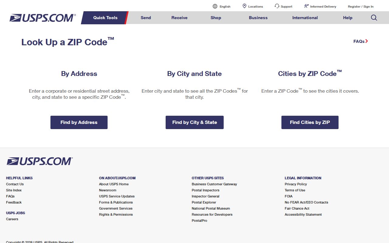
Use the returned mailing information beside, not in place of, the township parcel identifiers used by county record systems.
Randolph ZIP Searches in the Tax Portal
The Morris County Tax Board Search Tax Records has no dedicated ZIP field. Its useful filters are municipality or district, tax year, property location, owner, block and lot, and prior block and lot. Select Randolph Township as the district. Search by the verified street address, then retain the returned block, lot, qualifier, and tax year. That chain turns a postal starting point into a parcel record.
| Search route | Required fields | Optional fields | Use after a postal check |
|---|---|---|---|
| Property location | Tax year, district, street name | House number | Find the parcel tied to the exact street address. |
| Owner | Tax year, district, owner | None stated | Test a recorded owner name against a township parcel. |
| Block and lot | Tax year, district, block, lot | Qualifier | Use the parcel identifier after an address result. |
| Prior block and lot | Tax year, district, prior block, prior lot | Prior qualifier | Bridge a subdivision or changed parcel identifier. |
The observed tax-year list runs from 2000 through 2026. Results can expose the property location, owner name, block, lot, qualifier, prior identifiers, assessment or tax data, and map or GIS route. A parcel result is tax evidence. It is not a list of everyone connected to an address, and the county’s map and data notice says its products are not a survey.
The Morris Tax Board search screen displays the address, owner, block-and-lot, and prior-parcel routes.
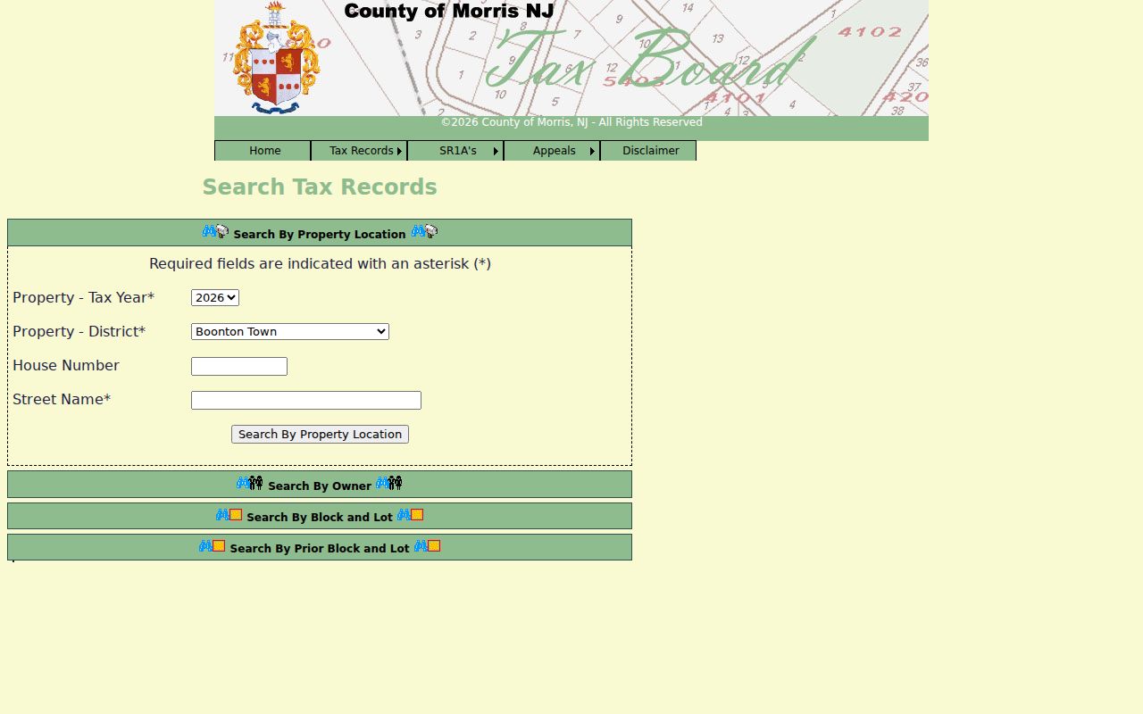
The absence of a ZIP filter is useful information: verify the delivery code first, then search the township parcel by the fields the tax system actually accepts.
Find Randolph Records by ZIP
A ZIP-based search in Randolph is a narrowing workflow, not a single database query. The postal result supplies the exact delivery label. The tax system supplies the official tax district and parcel identifier. The GIS map supplies the parcel’s physical context. When a research question becomes street-specific, use the full address and parcel fields rather than trying to expand the ZIP into a household list.
- Enter the complete address in USPS lookup and save the returned postal label.
- Open the Tax Board search, choose the current or needed tax year, and select Randolph Township.
- Search the property location by house number and street, then record block, lot, qualifier, and any prior identifiers.
- Open the matching parcel in county GIS to compare roads, address points, tax blocks, and related map layers.
- Use the verified street and parcel for a deeper address record trail when that level of detail is needed.
Once the postal area has been narrowed to one road, the Randolph Street Directory provides the separate street-by-street method. Postal labels do not replace that address-based work.
Randolph ZIP GIS Address Layers
The Morris GIS data inventory adds address points, parcels linked to MOD-IV tax data, tax blocks, structures, road centerlines, municipalities, zoning, overlay zoning, and FEMA layers. Its Parcel Searcher accepts a municipality, owner name, street address, or parcel ID, with map and results modes. It is a useful bridge after a postal check because it shows the address in the county’s parcel geography.
GIS does not provide a legal survey or legal description. The county says its map products can be revised and do not constitute a survey. Verify a boundary, parcel, or older description with the tax record, recorded deed, plat, or survey as appropriate. Use a map to orient the record search, not to settle a legal boundary question.
Morris GIS layers documentation identifies the parcel, address, and tax-block data available to the public.
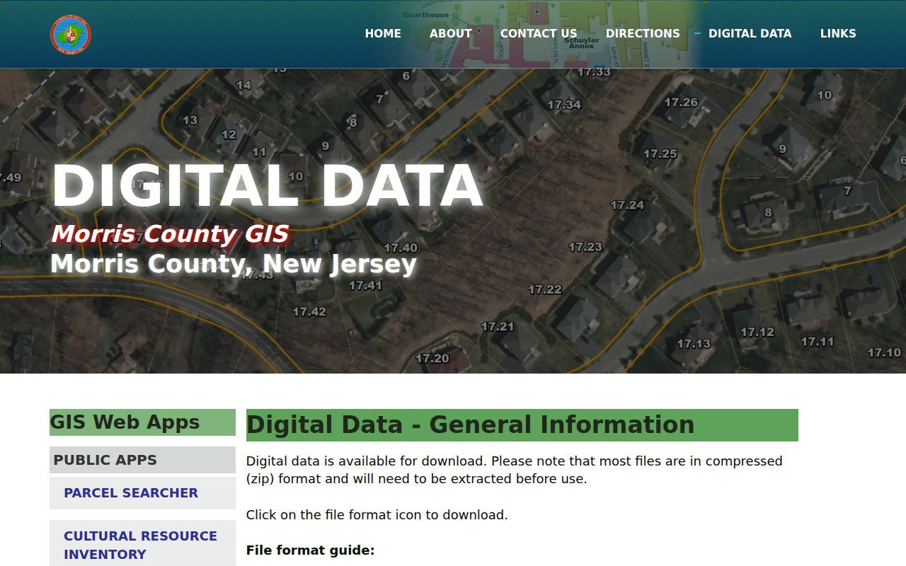
The layers help connect an exact postal address to a parcel and road context, while the tax and deed records supply the authoritative identifiers.
Randolph ZIP Codes and Township Lines
Postal boundaries and township lines answer different questions. A parcel near a municipal edge may use a postal city name that is not Randolph, while an address using Ironia or Mount Freedom can remain under Randolph Township tax and election jurisdiction. A deed can omit a postal code altogether and instead rely on a legal description. The county tax card, parcel map, and official municipal district are the proper sources for government jurisdiction.
Boundary check. Do not infer a township, election district, or parcel boundary from a ZIP label. Confirm the exact address with USPS, then use the Morris tax district and GIS parcel record.
This also prevents a common record-reading error. A tax owner’s mailing address can be in a different postal area from the property’s situs address, and neither one replaces the deed’s block, lot, or legal description.
Randolph ZIP Address Record Keys
Write down the address label that each system uses. Postal codes are best for delivery verification. A situs address is the property location used in tax and municipal records. A mailing address is where correspondence for the owner may go. A legal description and block-lot identifier carry the land record across changes in street naming or parcel numbering. Keeping the keys separate makes it easier to reconcile an old record with a current map.
- ZIP and ZIP+4
- The main postal code routes delivery to an area. ZIP+4 adds a more precise delivery segment for a particular address or range.
- PO-box ZIP
- A postal code assigned to post-office boxes. No Randolph example of this type was documented in the research.
- Unique ZIP
- A code serving one large organization or institution. No Randolph example was documented in the research.
- Carrier route
- A USPS delivery sequence used for mail handling. It is not a township, parcel, or election boundary.
- Legal description
- The lot, block, subdivision, or metes-and-bounds description in a deed, used to identify land even when the mailing address changes.
For a previous parcel configuration, the Tax Board’s prior block and lot route is stronger evidence than a guessed historic ZIP. It connects the current tax record to an earlier tax identifier without assuming that postal labels stayed fixed.
Randolph ZIP History and Place Names
Older Randolph research predates both modern postal codes and the township’s present form. Randolph was formed from Mendham in 1805 and organized in 1806. Early material can therefore appear under Mendham Township. Historic maps include an 1868 Randolph map, 1887 Morris atlas references, and a 1986 historic survey. They help connect Ironia, Mount Freedom, Shongum, and older road names to later parcel records without claiming a modern postal match.
Mount Freedom’s resort history adds another naming issue. Hotel, bungalow-colony, and road names may appear in historical directories and newspapers in place of a modern street format. Use the place name, a road variant, the recorded owner, and a legal parcel clue together. No documented township-wide renumbering year was found, so a missing current number should be treated as a research problem rather than evidence that the place did not exist.
Note: Search historic community names beside Randolph Township and Mendham Township, then verify the connection with a map, tax identifier, or recorded land description.
Randolph ZIP Map Updates
Morris County adopted and posted a new official county map in January 2026 after an overhaul of the earlier edition. It supplies road, park, public-works, and planning context. The county also reported in August 2026 that its legacy Tax Search was working while the familiar background map was being recreated, with aerial imagery used temporarily. A later screen can therefore look different without a change to the underlying address or parcel record.
When saving research, note the app name and date along with the postal label and parcel fields. The county recommends its modern Parcel Searcher for map work. If a map layer is unavailable, the tax search, Clerk land index, and official municipal sources remain separate paths for verifying the record trail.