
Randolph Neighbors and Block Sources
Public records around a Randolph address do not form a household roster. They form a set of distinct, useful clues. The GIS viewer shows parcel shapes and nearby geographic layers. The Tax Board connects each parcel to its assessed record. The County Clerk shows recorded transfers and instruments. A permit file can connect a project, applicant, or owner to a site. Community organizations may publish public contacts or local history, but no source found provides a verified public directory of every nearby household.
| Source | Block detail it can show | Access |
|---|---|---|
| Morris GIS Parcel Searcher | Parcel polygons, adjoining shapes, tax blocks, address points, structures, zoning, and flood layers | Free map with click, pan, buffer, results, and report controls |
| Morris County Tax Board | Owner record, parcel, assessment, property address, and prior identifiers | Free search by municipality, year, address, owner, or block and lot |
| Morris County Clerk index | Recorded transfers, liens, mortgages, maps, and party names | Free index from 1960; older and certified material through Records Vault |
| Randolph permits and zoning | Project site, owner or applicant, contractor, work description, and hearing context | Specific request or OPRA; no public result database located |
| Community and library sources | Public contacts, history, and historical address context | Association, resource directory, library, or microfiche route |
Tax and deed results describe ownership or a recorded transaction. They do not establish who occupies a property. That distinction keeps a neighborhood search tied to what the record actually says.
Randolph Neighbors Through GIS Buffer Tools
The Morris GIS Parcel Searcher accepts a combined municipality, owner, address, or parcel-ID quick search. It also has More Search Options or Advanced Data Search, map and results views, a report path, clear controls, and a Buffer in Feet field. For a repeatable block view, locate the known parcel, choose the map view, set a radius in feet, submit the buffer, and switch to results or report. The output is a spatial starting set, not a finding about household membership.
The adjacent polygons are the immediate parcel context. Record each parcel ID, block, lot, and address shown, then verify its owner record in the Tax Board. Morris County describes GIS as a locate, identify, and inventory tool, not a survey or legal description. A boundary that looks close on a screen still needs tax, Clerk, or survey verification when accuracy matters.
Morris GIS Parcel Searcher provides the map-and-buffer interface for this local parcel workflow.
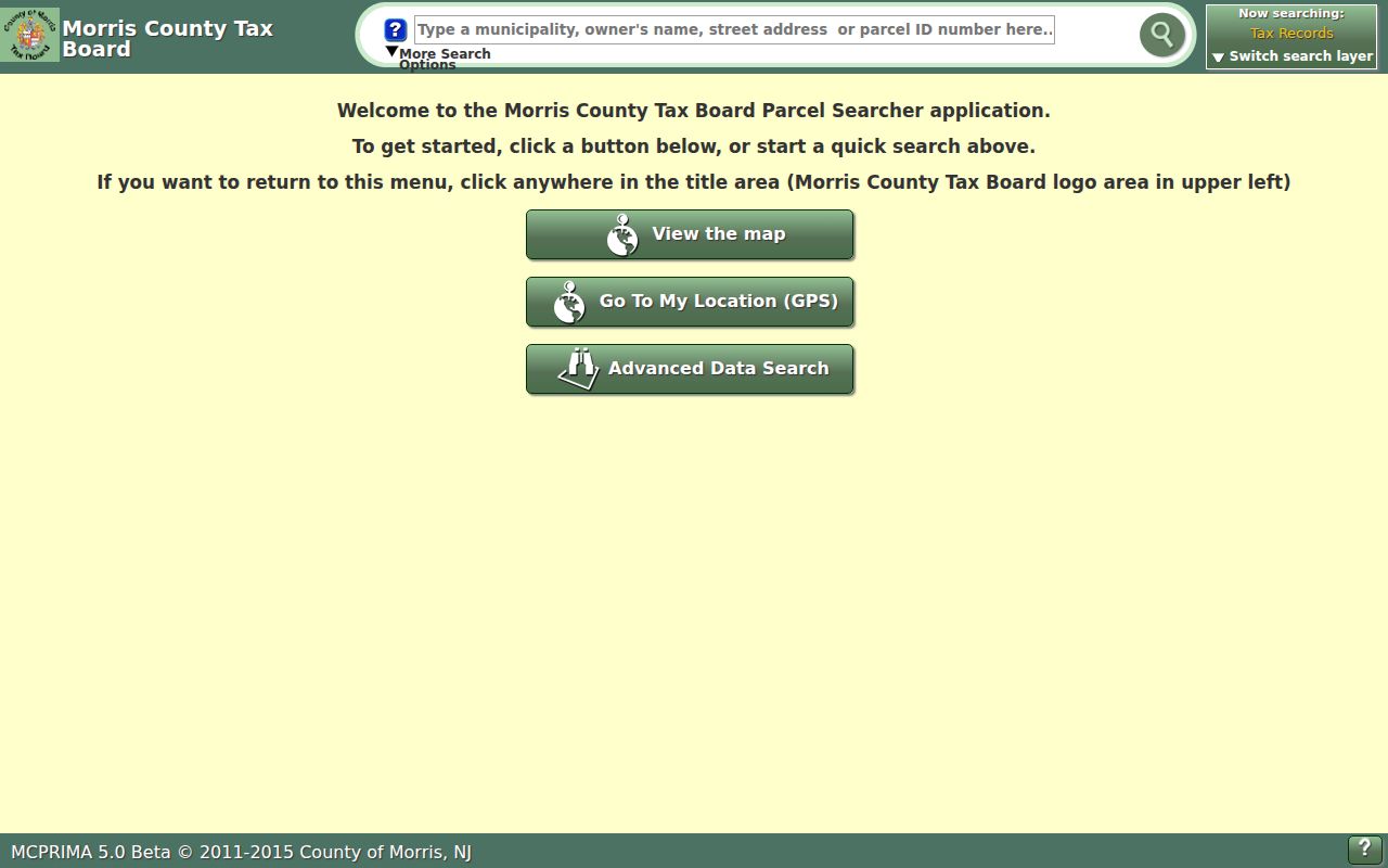
The screenshot shows why an address, owner, or parcel can begin the search, while the buffer converts one parcel into a defined nearby area.
Morris GIS data inventory documents the county layers available around Randolph parcels.
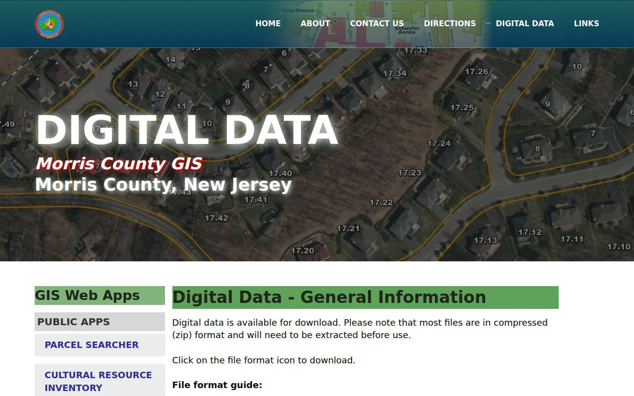
Linked MOD-IV parcels, tax blocks, address points, structures, zoning, and flood layers provide context, but none should be used as a substitute for a recorded owner record.
Note: Morris GIS reported on August 26, 2026 that the legacy background map was being recreated and hardware work could affect the older app’s appearance or availability.
Verifying Randolph Neighbors in Tax Records
After the GIS step, use the Morris Tax Board Search Tax Records to check each selected parcel. The visible search routes are Property Location, Owner, Block/Lot, and Prior Block/Lot. Property-location searching requires a tax year and district, uses Randolph Township as the district choice, accepts a street name, and can take a house number. Owner, block, lot, qualifier, and prior-identifier routes are useful when a road number is uncertain or a subdivision changed a parcel.
Write down the owner name, property or situs address, block, lot, qualifier, prior identifiers, tax year, assessment details, parcel ID, and map link when shown. An owner mailing address is a separate clue from the situs address. A mailing location elsewhere does not disprove ownership, and a Randolph mailing location does not prove that the owner lives on the parcel. The full named-street chain is handled on the Randolph street directory; the focus here remains the immediate set of parcels around one address.
Mapping a Randolph Block by Parcel
A simple flow keeps the block process reproducible: address or parcel ID, then GIS map, then buffer or adjoining polygons, then Tax Board verification, and finally the Clerk index where a recorded ownership trail is needed. The map identifies land near the starting point. The tax roll connects that land to the current assessed owner record. The Clerk distinguishes a current assessed owner from earlier parties to a deed, mortgage, lien, or map.
- Enter the known Randolph address or parcel in the GIS quick search and select the matching parcel.
- Click adjoining polygons or enter a chosen Buffer in Feet value, then use Map, Results, or Report to capture the nearby parcel IDs.
- Search every selected parcel in the Tax Board with Randolph Township, the appropriate tax year, and its address or block and lot.
- For a recorded transfer, search the Morris County Clerk by party, parcel ID, map number, instrument number, book and page, or document type.
The Clerk’s online property index reaches back to 1960. Older books, microfilm, and images are held in the Records Vault, which also handles mail requests. A deed names parties to a transaction. It is not a present-neighbor list.
Randolph Neighbor Context from Permits
Construction and land-use records can explain activity at a parcel without claiming anything about its household. Randolph Construction Codes administers the New Jersey Uniform Construction Code, reviews plans, issues permits, performs inspections, investigates violations, and issues Certificates of Occupancy or Approval. Its forms can identify a project site, owner or applicant, contractor, work description, estimated cost, subcode, inspections, and final certificate. The Township does not advertise an online permit-result index.
Request a particular address or file from Randolph Construction Codes, or make a focused municipal OPRA request. Planning and Zoning records can add block, lot, zone, owner or applicant, and public-hearing context. They are public address evidence for a project or land-use question, not proof of a resident at the parcel.
Randolph’s construction-permit page is the official source for the local permit process and published forms.
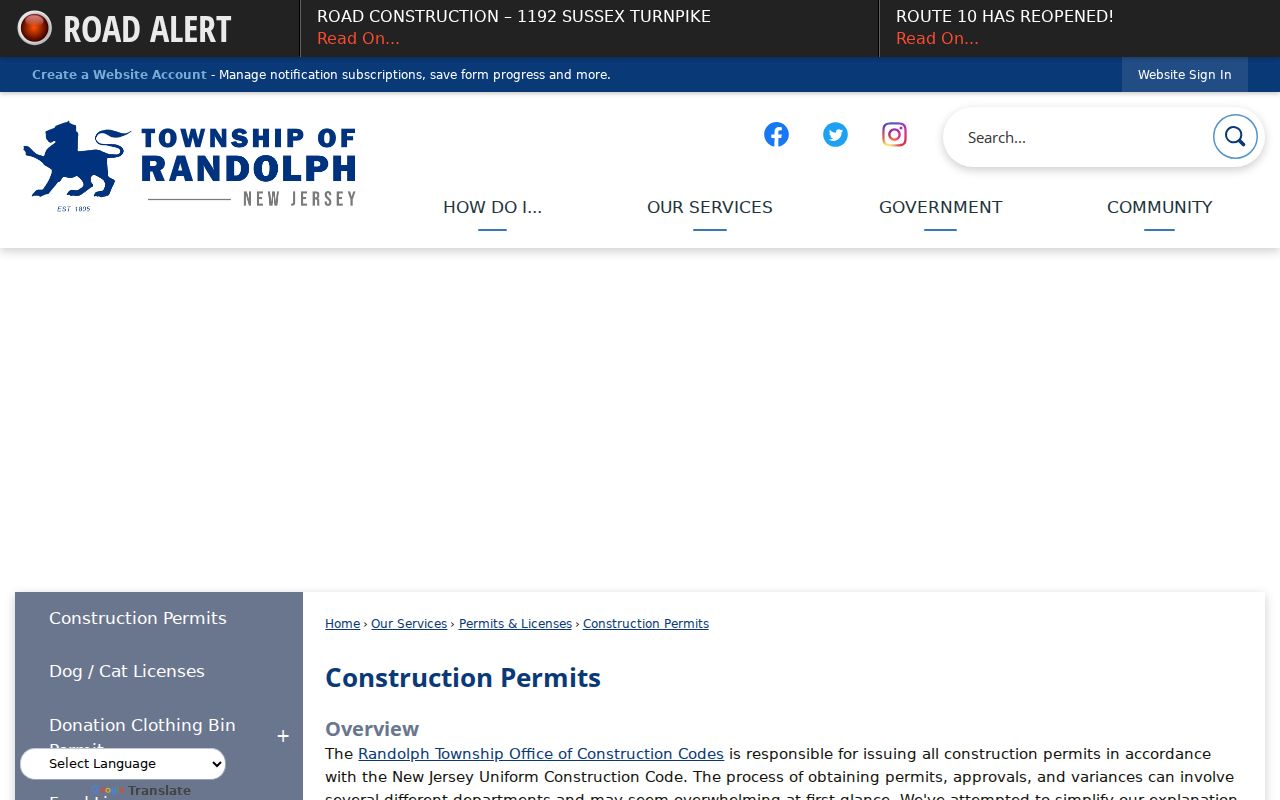
The permit materials support a specific address-file request when the public question is about a project, inspection, or certificate rather than the people who may be present there.
Randolph Neighbors Across Community Names
Randolph Township is organized through sections and postal labels as well as its municipal name. Mount Freedom, Ironia, Center Grove, Fernbrook, Shongum, Calais, Youngstown, and Mill Brook appear in local histories, maps, directories, and polling places. They are not separate municipalities or automatic neighborhood associations. A parcel can remain in Randolph Township even when its mailing place is Ironia or Mount Freedom.
The postal labels make the point clearly. Ironia is associated with 07845, central Randolph with 07869, and Mount Freedom with 07970 in county polling-place material. Postal ZIPs, election districts, and tax jurisdiction are different systems. For a block question, use the parcel’s Randolph tax district and GIS location rather than assuming a postal name defines a legal neighborhood boundary.
| Community reference | What the research supports |
|---|---|
| Shongum | Randolph community and property-owner association context, not a confirmed public member directory |
| Ironia | Unincorporated section and 07845 postal label within Randolph Township |
| Mount Freedom | Community and 07970 postal label; resort-era place history does not create a separate municipality |
| Center Grove and Fernbrook | Township sections and school or resource references, without independent public resident directories located |
Shongum Lake in Randolph Neighbor Research
The Shongum Lake Property Owners Association history provides a documented community layer. Its history identifies Shongum as a Randolph setting with lake, forge, and property-owner context. Township planning records also show the association in parcel and common-area material. The public page is historical and civic context. Research did not locate a public member, contact, or household directory there.
That distinction matters for block research. A community association’s history can help interpret a common area, lake-related parcel, or neighborhood name. It cannot be converted into a list of people who live nearby. The same limit applies to Mount Freedom, Ironia, Center Grove, and Fernbrook, where the research found community references but not independent public resident directories.
The Shongum Lake Property Owners Association history page is the source for the association’s local context.
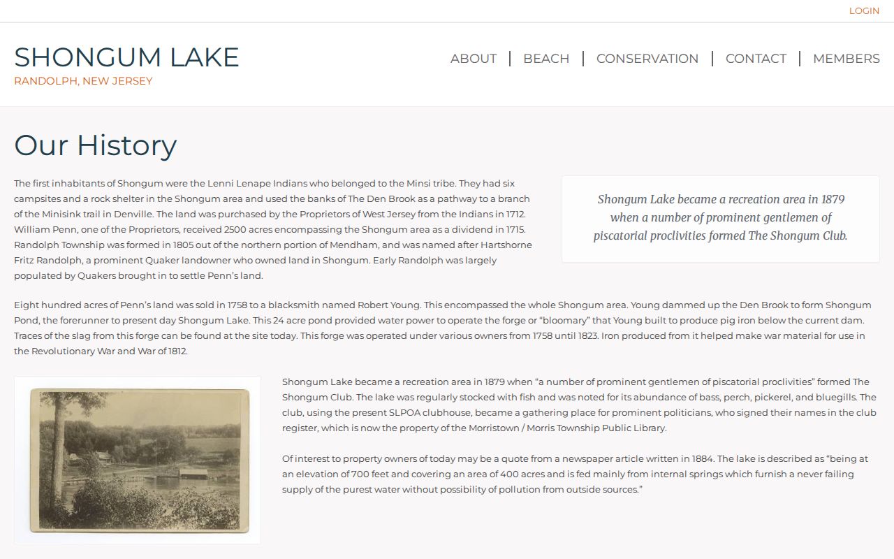
The page supports a historical and community connection, while the missing public membership directory remains an important access gap.
Voter Records and Randolph Neighbors
New Jersey law describes registry-list fields that include name, address, date of birth, party affiliation, and voting history, with signatures excluded except by court order. District lists are arranged by election district and street in the statutory format, and a voter can request printed district lists at the stated per-copy rate. Morris County directs status questions to the state portal and routes list questions through the Board of Elections. The individual status tool is not a public all-neighbor browse mode.
Voting history is participation information, not ballot choices. State law prohibits use of voter registration lists for commercial solicitation, and protected voters may have substitute or restricted addresses. Contact the Morris County Board of Elections for lawful current list-request details. Do not publish a block roster from voter material or assume a name at an address identifies every person at that location.
Note: A voter record, tax parcel, or deed can each supply a narrow fact, but none independently provides a complete account of nearby households.
Official Sources for Randolph Neighbors
Official records and commercial neighbor-lookup products answer different questions. The commercial category can combine property, address-history, directory, marketing, and user-contributed material. Those compilations can lag behind a deed, merge people with the same name, omit renters, or expose details that need careful handling. A public source with a named custodian provides a way to verify a specific field and see the limits of that record.
| Source type | Useful for | Key limit |
|---|---|---|
| GIS, Tax Board, and Clerk | Parcel location, assessed owner, and recorded instrument trail | Does not prove every occupant or a parcel boundary survey |
| Municipal permits and planning | Specific projects, applicants, inspections, or hearing context | No advertised online permit-result index; not a household record |
| Community and library sources | Public contacts, historical context, and older directory clues | Private rosters and current membership are not presumed public |
| Commercial neighbor tools | A starting lead that must be checked | Can be stale, merged, incomplete, or inconsistent with custodian records |
Privacy Limits for Randolph Neighbors
Several kinds of information remain private even when the parcel itself is easy to find: non-owner occupants, children, visitors, utility or delivery customers, MVC address data, protected voters, sealed court participants, and nonpublic association membership. New Jersey’s Address Confidentiality Program, N.J.S.A. 47:4-1 et seq., provides a legal substitute address for qualifying participants. OPRA also permits redaction of protected personal information, and court-access rules restrict sensitive files.
Use a block search for ordinary neighborhood context, property curiosity, civic research, or a specific public-record question. Do not use address information to watch, threaten, intimidate, or repeatedly contact another person. If an official record appears wrong, bring the parcel, docket, instrument, or permit identifier to the custodian that maintains it.
Lawful use. Randolph neighbors research must remain personal, careful, and respectful of privacy boundaries. Using records to stalk, harass, threaten, or harm anyone is prohibited and can violate New Jersey law.